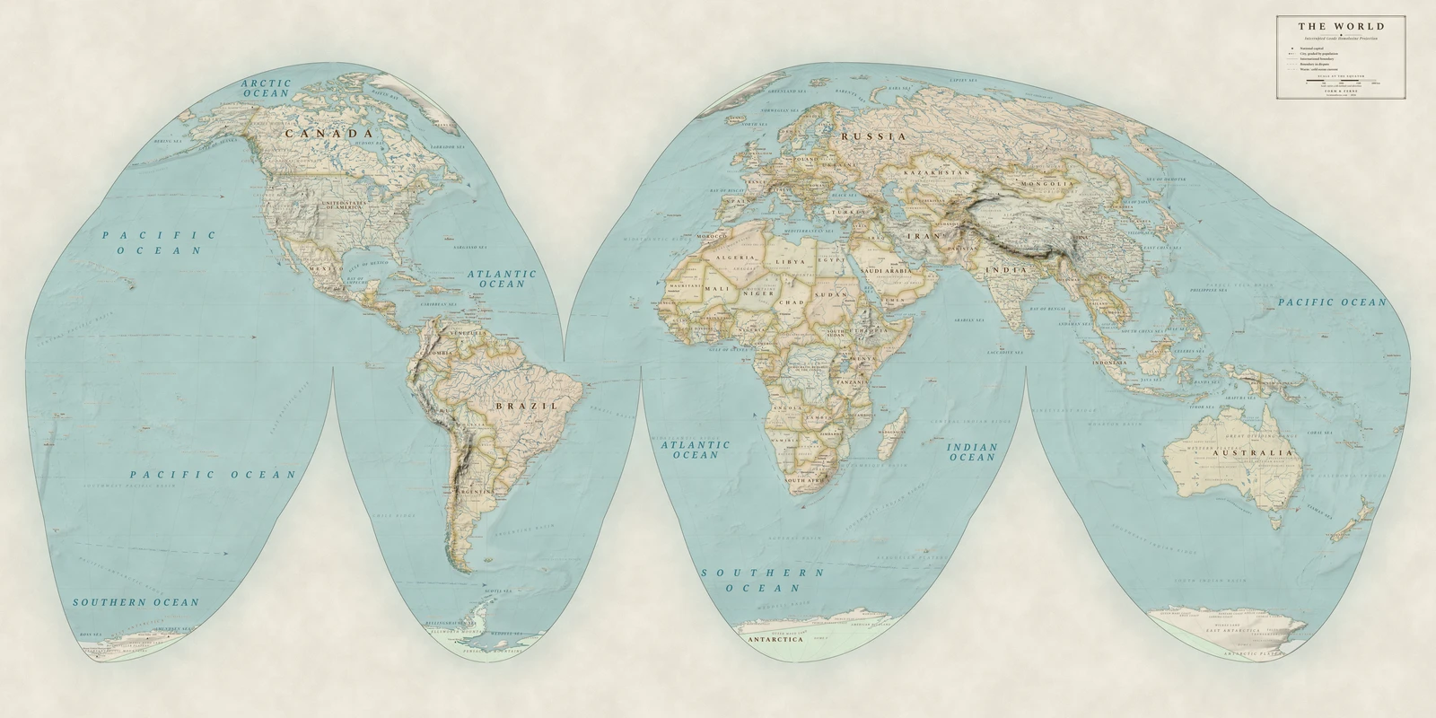
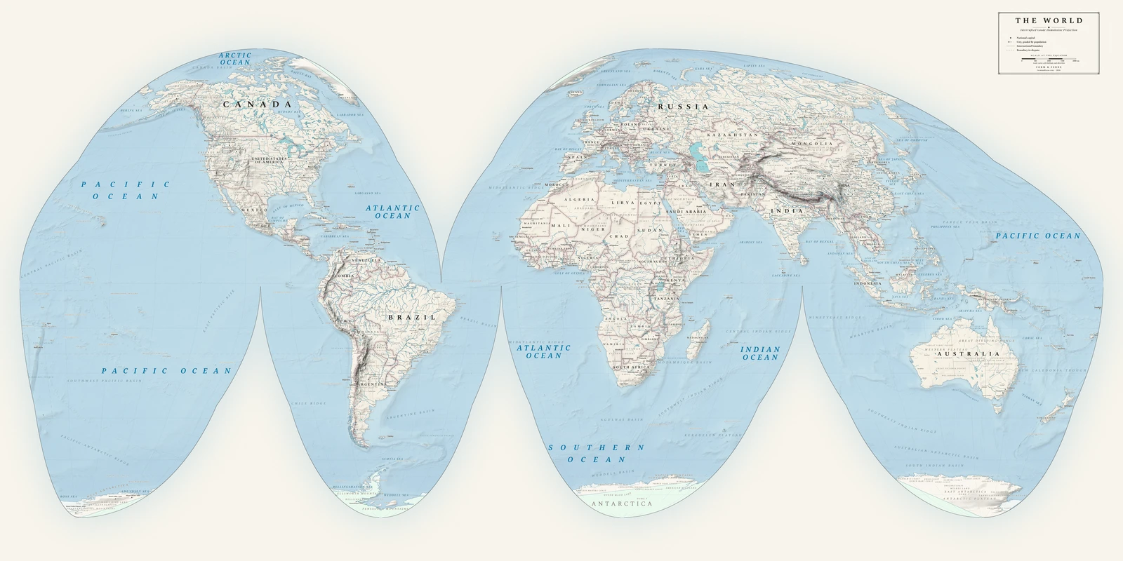
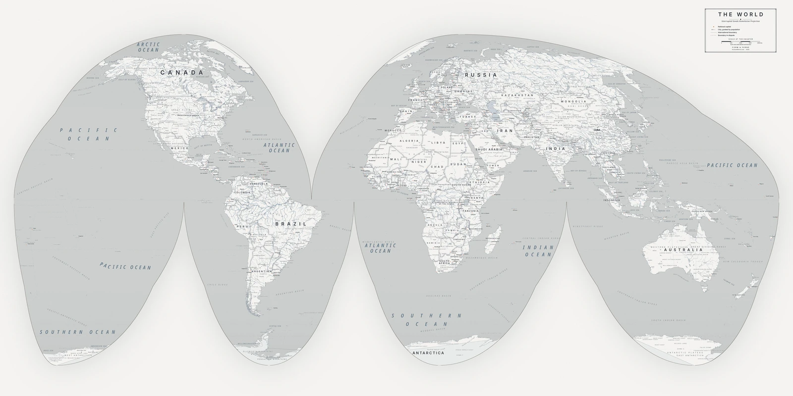
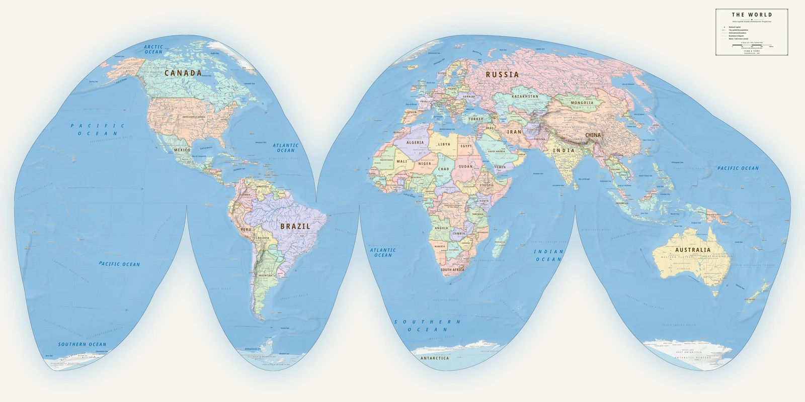
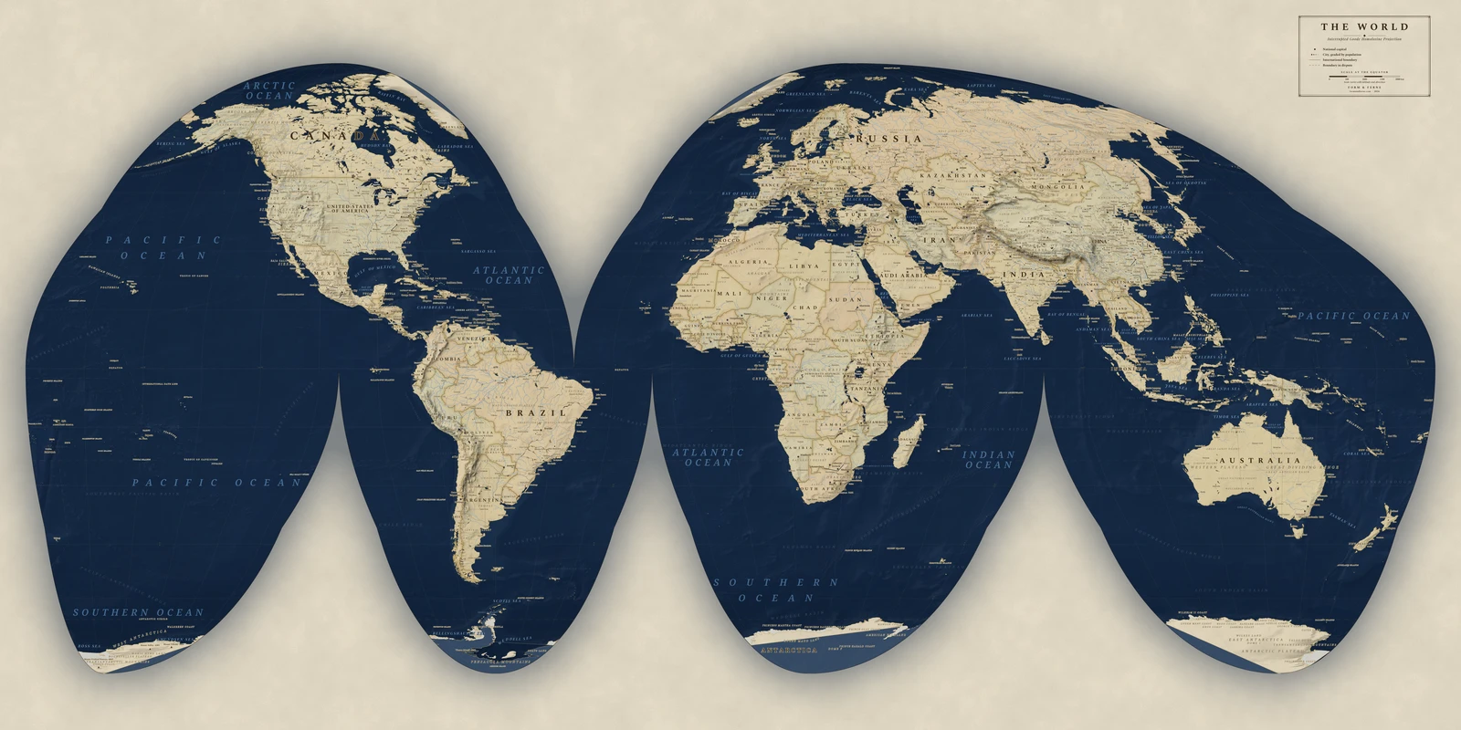
J. Paul Goode's interrupted form, 1923 — the map in the back of a generation of school atlases.
The same homolosine construction, but cut into lobes through the oceans so the distortion is spent on water. Every continent keeps close to its true size and shape; the Atlantic and Pacific pay for it.
Preserves: every country its true size.
J. Paul Goode's interrupted form, 1923 — the map in the back of a generation of school atlases. The same homolosine construction, but cut into lobes through the oceans so the distortion is spent on water. Every continent keeps close to its true size and shape; the Atlantic and Pacific pay for it.
From €79
Design this map
Styles: Heirloom, Alpin, Nordic, Meridian, Regency