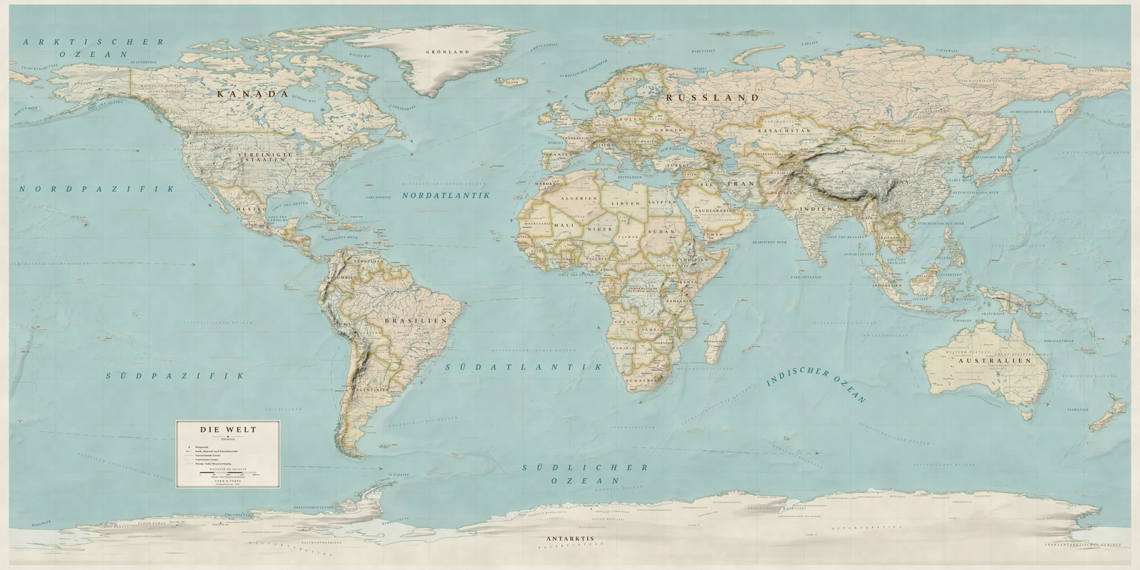
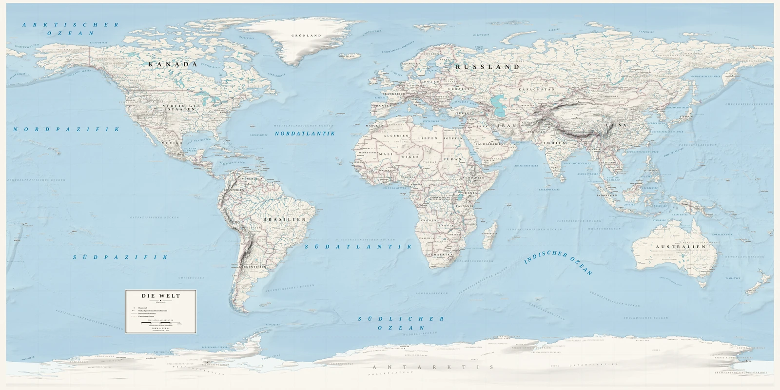
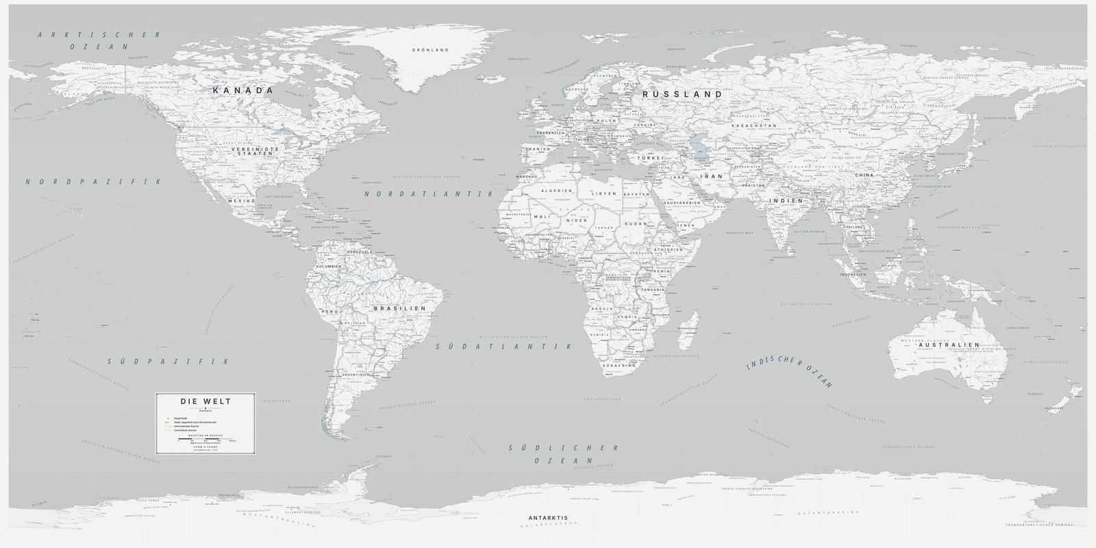
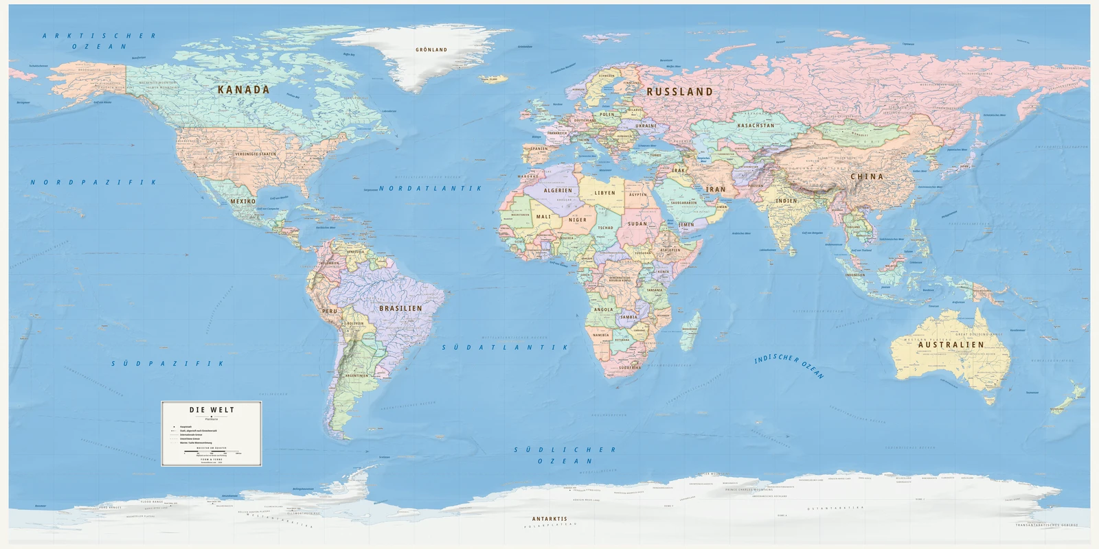
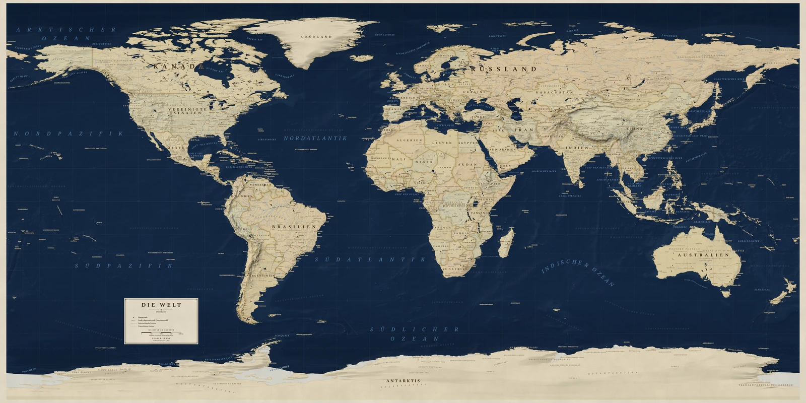
Attributed to Marinus of Tyre around AD 100, which makes it the oldest projection here.
Longitude and latitude become x and y directly, with no adjustment whatever. Neither equal-area nor conformal, and precisely because it is so plain it is the default frame for satellite imagery and global raster data.
Preserves: a balance struck between area, shape and distance.
Eine Weltkarte in der Projektion Equirectangular, alle Namen auf Deutsch, mit eigenem Titel und eigenen Orten. Auf Bestellung gedruckt, gerollt geliefert.
From €79
Diese Karte gestalten
Styles: Heirloom, Alpin, Nordic, Meridian, Regency