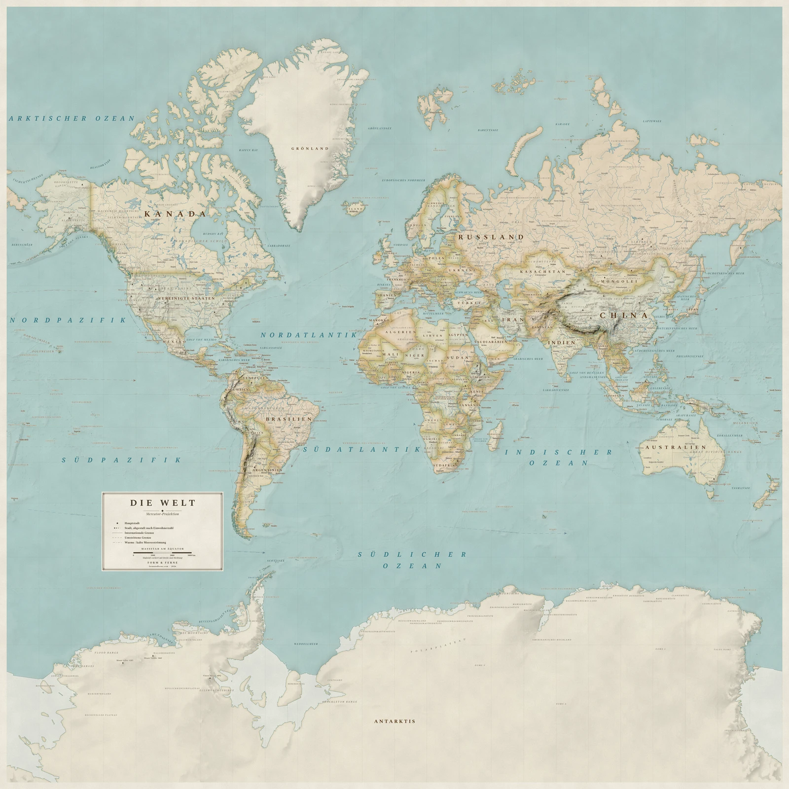
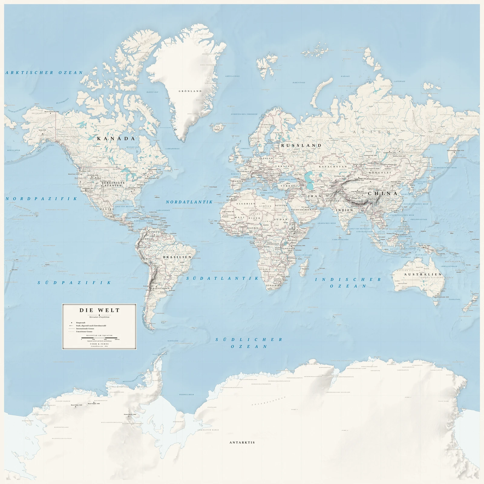
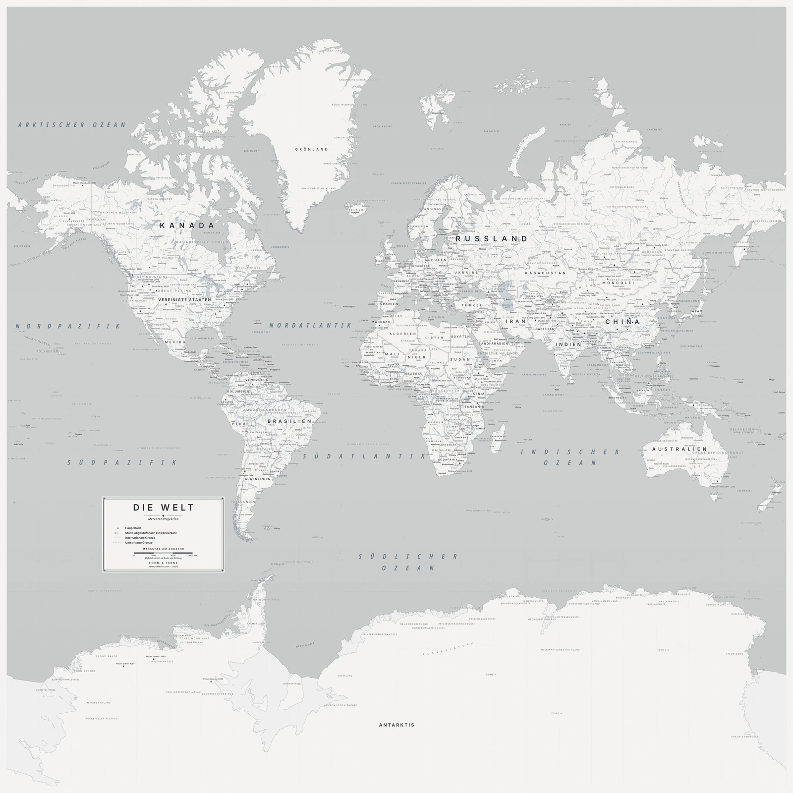
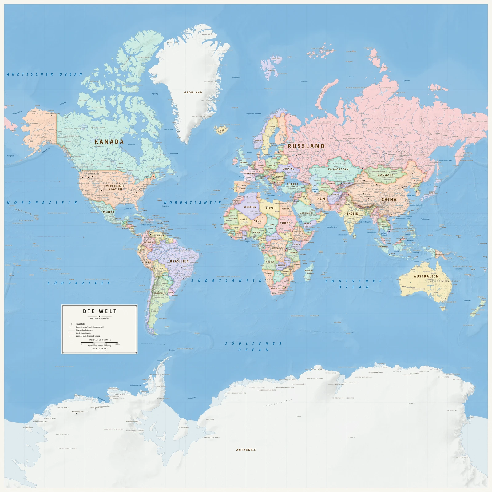
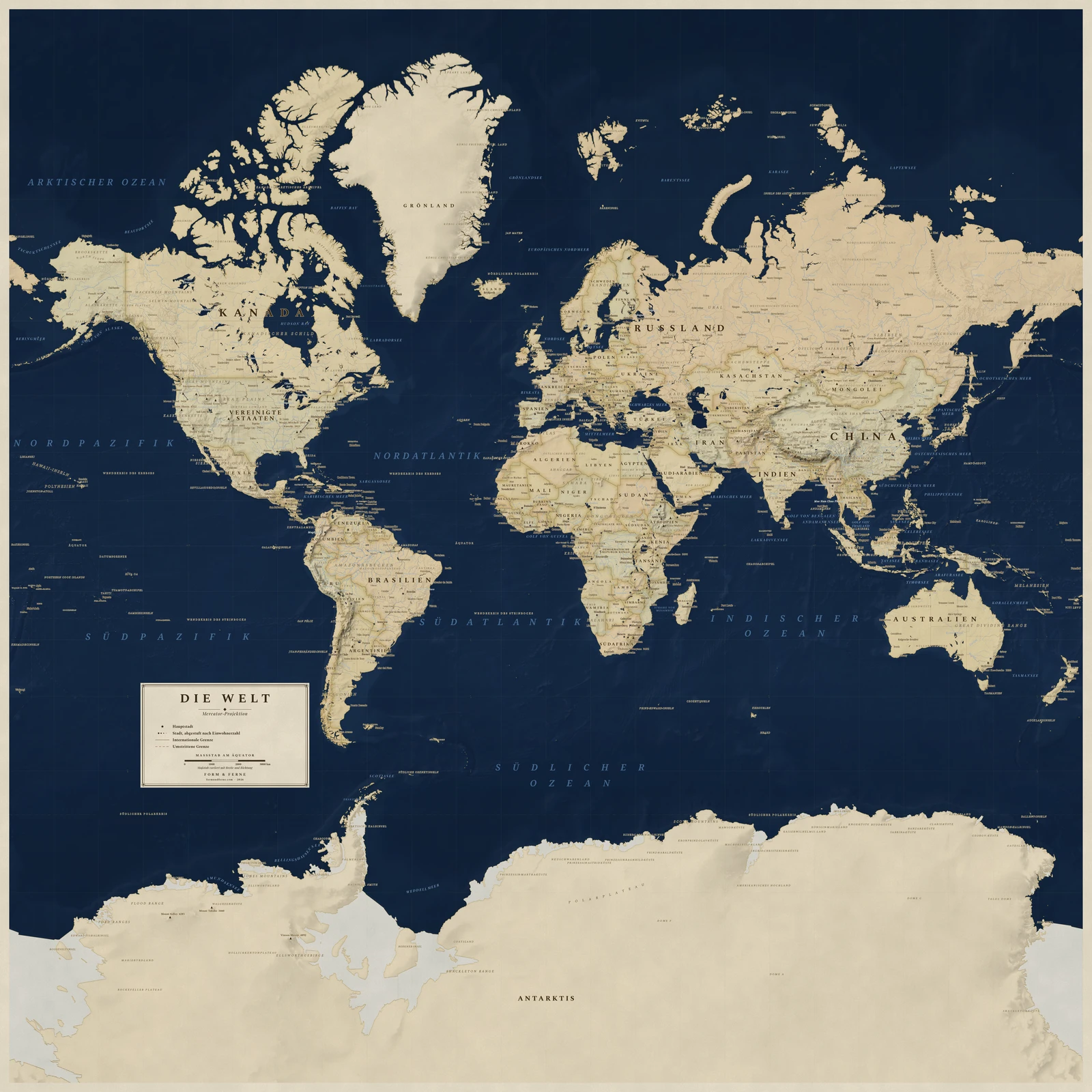
Gerardus Mercator, 1569 — the chart that made ocean navigation tractable.
Conformal: angles are preserved, so a course of constant bearing is a straight line. That is why it ruled navigation for four centuries, and why Greenland looks the size of Africa — area inflates without limit toward the poles.
Preserves: angles and local shapes preserved.
Eine Weltkarte in der Projektion Mercator, alle Namen auf Deutsch, mit eigenem Titel und eigenen Orten. Auf Bestellung gedruckt, gerollt geliefert.
From €79
Diese Karte gestalten
Styles: Heirloom, Alpin, Nordic, Meridian, Regency