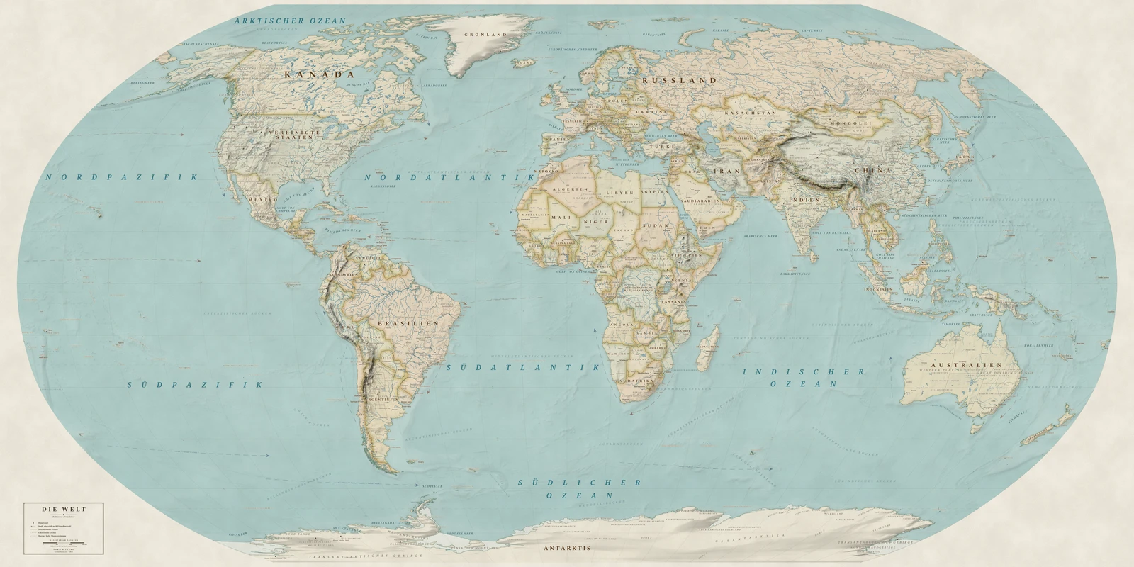
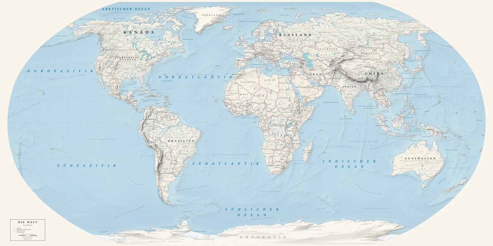
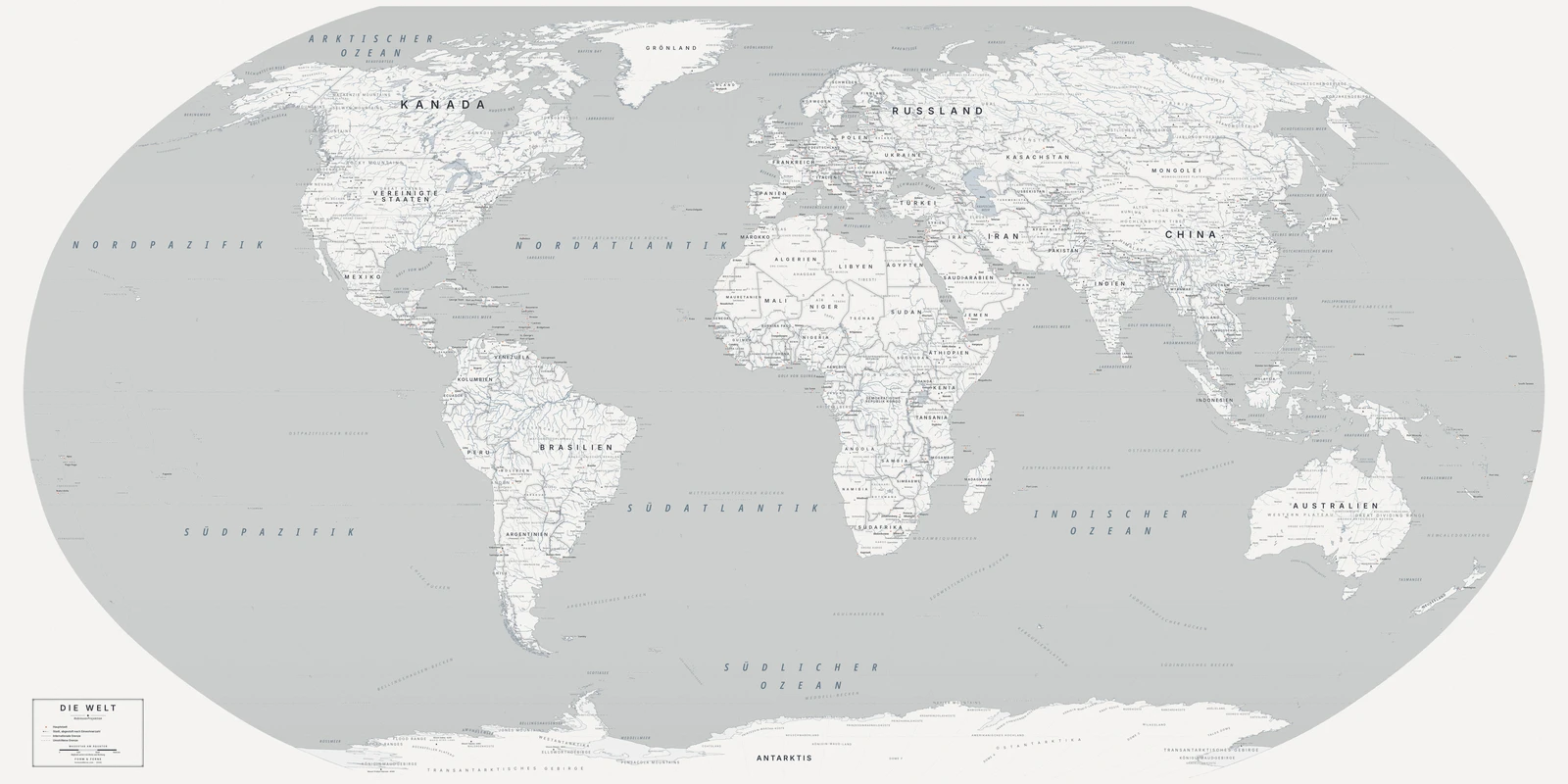
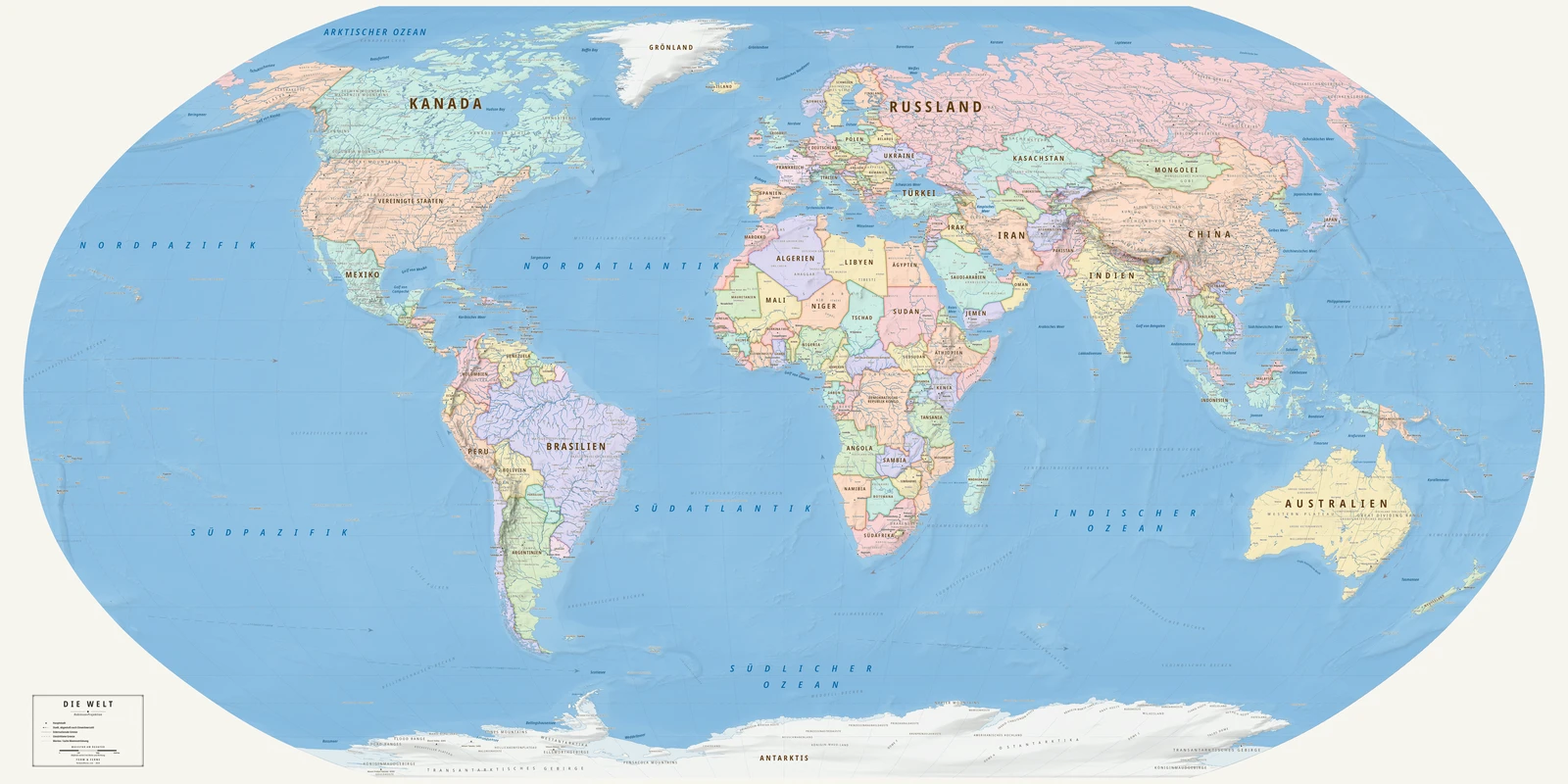
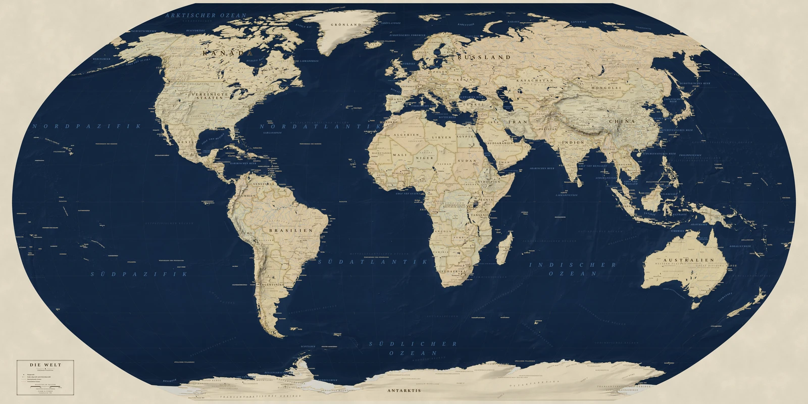
Devised by Arthur H. Robinson in 1963 for Rand McNally, and used by National Geographic from 1988 to 1998.
A compromise projection: neither equal-area nor conformal, tuned by eye so that the world simply looks right. Robinson built it from a table of values rather than a formula, optimising for appearance over any single mathematical property.
Preserves: a balance struck between area, shape and distance.
Eine Weltkarte in der Projektion Robinson, alle Namen auf Deutsch, mit eigenem Titel und eigenen Orten. Auf Bestellung gedruckt, gerollt geliefert.
From €79
Diese Karte gestalten
Styles: Heirloom, Alpin, Nordic, Meridian, Regency