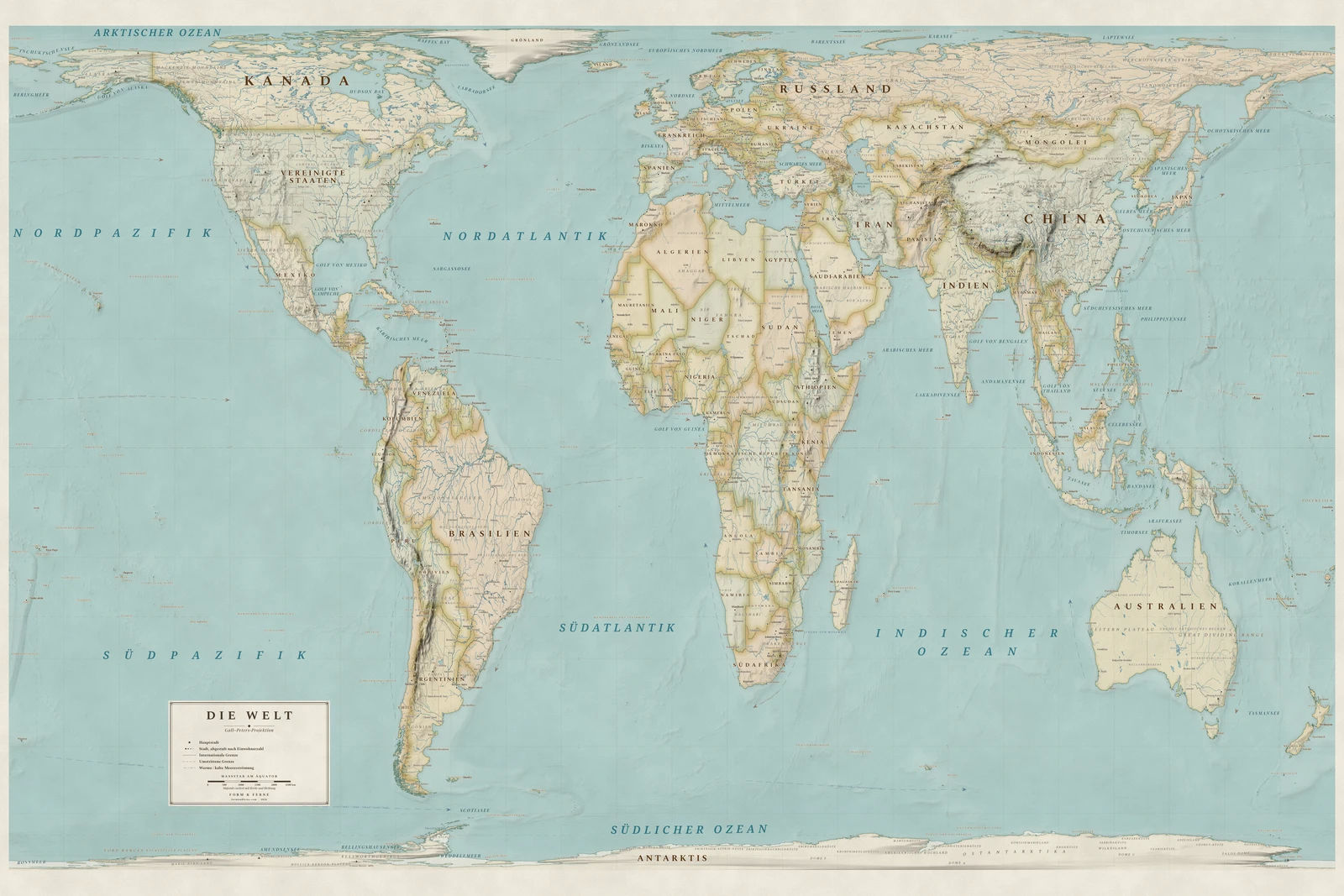
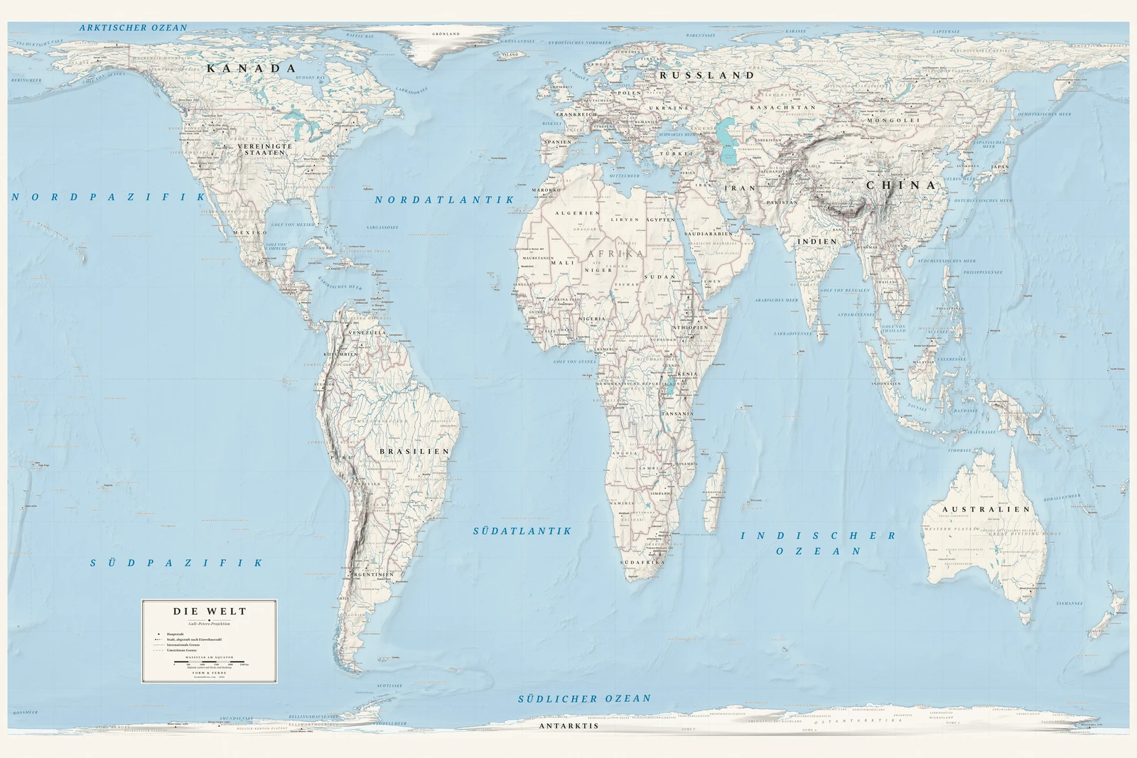
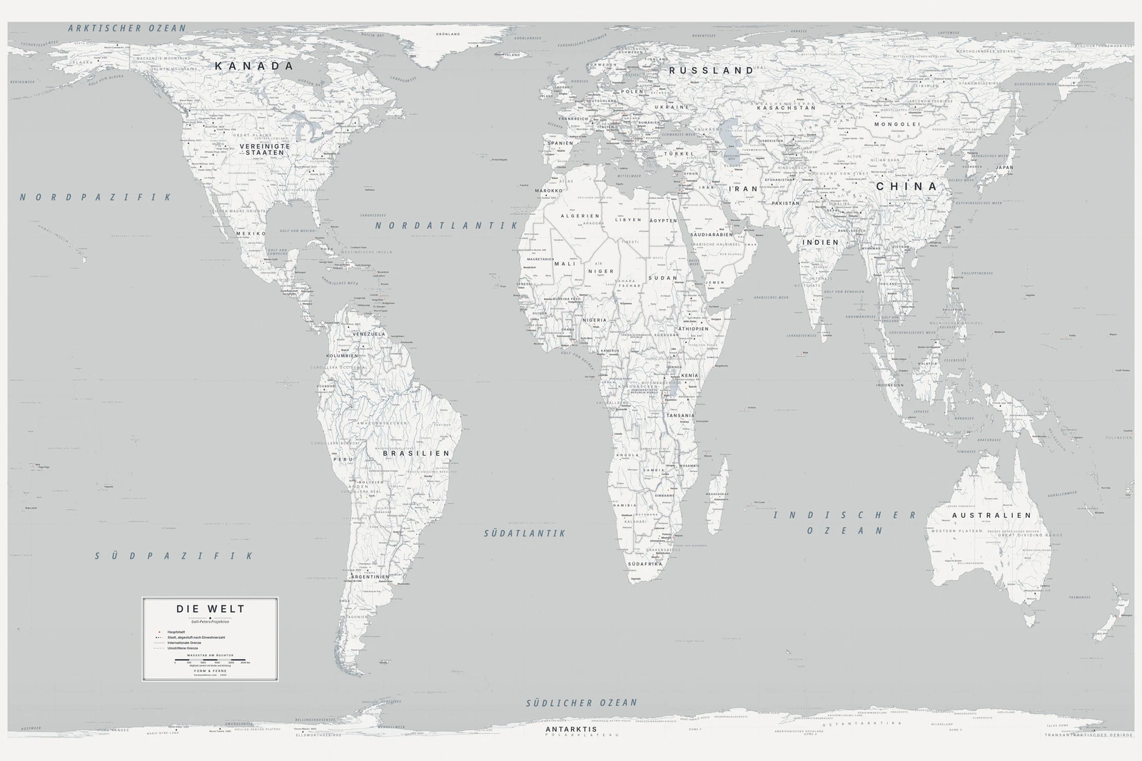
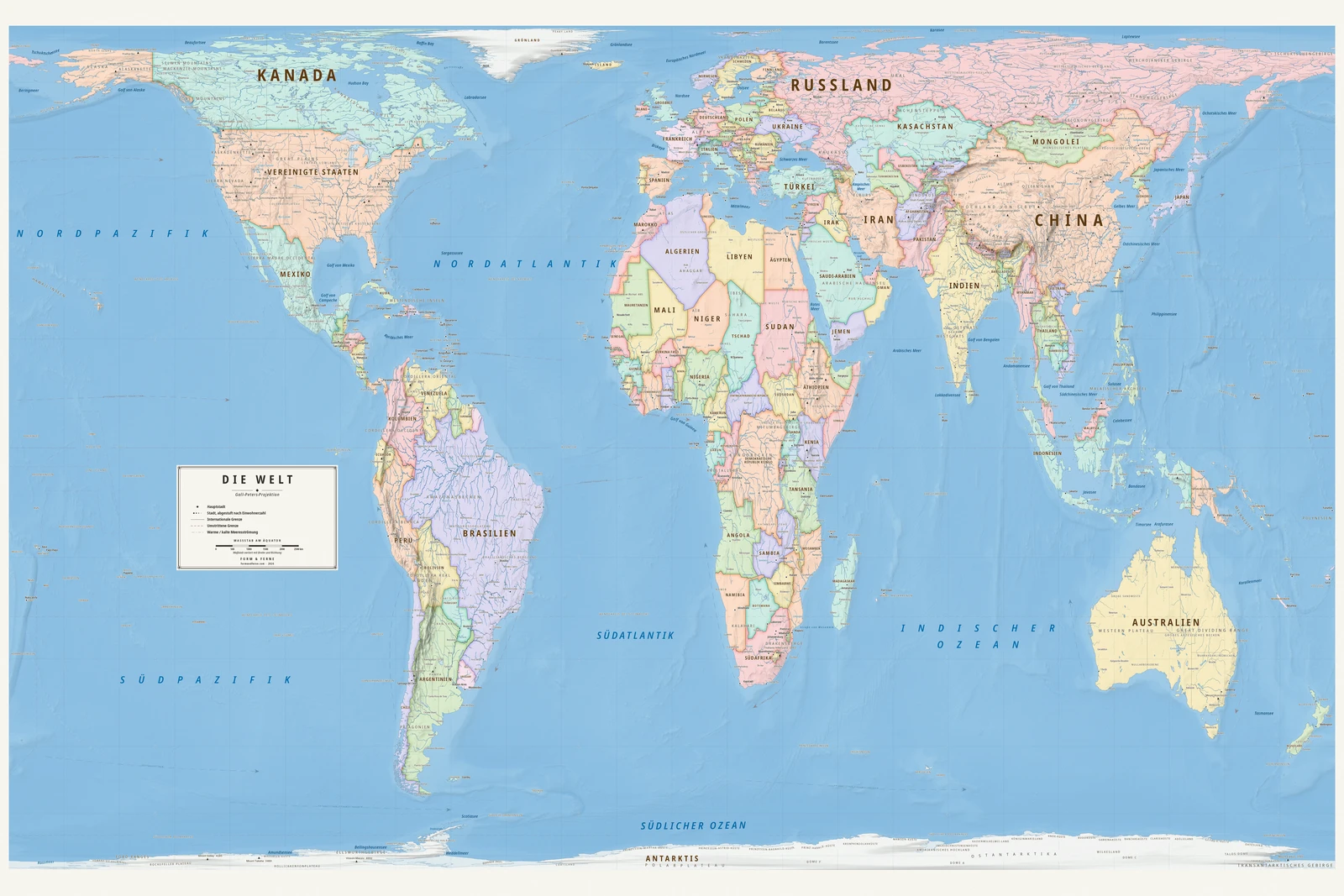
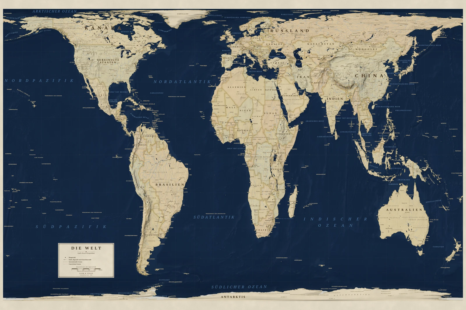
Described by James Gall in 1855 and promoted by Arno Peters from 1973.
A cylindrical equal-area projection with standard parallels at 45°. Peters presented it as a corrective to Mercator's inflation of the global north; the areas are honest, and the shapes near the equator are visibly stretched.
Preserves: every country its true size.
Eine Weltkarte in der Projektion Gall–Peters, alle Namen auf Deutsch, mit eigenem Titel und eigenen Orten. Auf Bestellung gedruckt, gerollt geliefert.
From €79
Diese Karte gestalten
Styles: Heirloom, Alpin, Nordic, Meridian, Regency